
One platform for the decarbonisation economy.
Federated climate data, satellite imagery and AI agents combined into a single decision layer for real estate — at the click of a button.
Why enterprises choose RIISE
Built for outcomes, not dashboards.
40% customer-impact lift
Transform manual services into on-demand products clients access 24/7.
10× product velocity
Iterate AI products against real client usage data and feedback loops.
Unlimited scale
Serve unlimited clients without proportionally growing headcount.
60% lower overhead
AI automation handles the repetitive analysis so your experts ship outcomes.
Minutes, not months
Concepts to production-ready AI products in minutes, not quarters.
Bank-grade security
Enterprise compliance for portfolio-wide deployments.
How the platform works
A three-stage decarbonisation loop.
Analyse
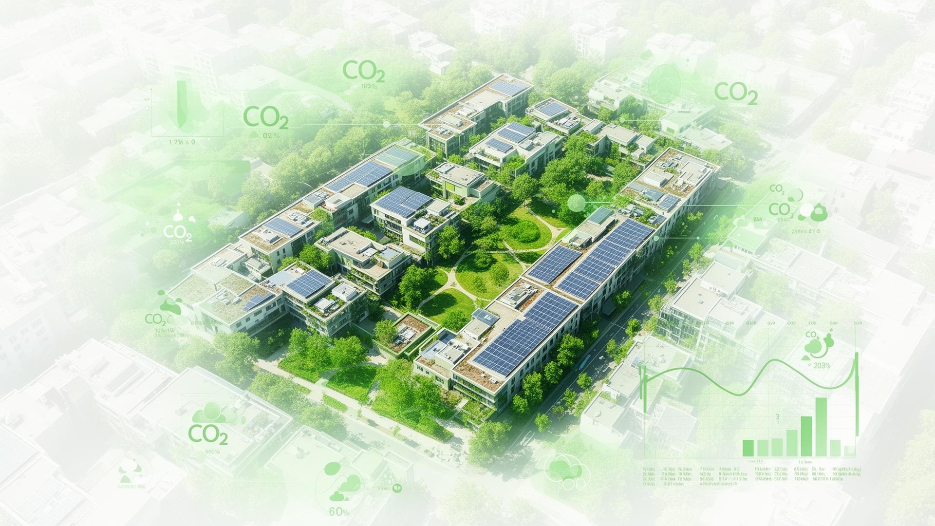
RIISE satellites continuously scan portfolios — and whole cities — surfacing thermal loss, system age, solar potential, embodied carbon and asset risk per building. No site visit required.
- Building footprint & rooftop classification
- Thermal-loss & HVAC age detection
- Solar suitability & shading analysis
- Vegetation, parking & EV-ready scoring
Detection capabilities
What RIISE detects from orbit.
Solar opportunities
Rooftops without panels, scored for capacity, tilt, shading and yield.
HVAC systems
Ageing chillers, cooling towers and AHUs flagged for replacement.
Lighting upgrades
T5/T8 fluorescents identified for LED retrofit with payback estimates.
Envelope losses
Thermal hotspots, single-glazed windows and insulation gaps.
The data engine
17.5M+ datasets, continuously refreshed.
Geospatial, building, energy, financial, compliance and sustainability data fused into one model.
Climate & building datasets processed
Faster ESG and compliance reporting
Reduction in operational overhead
See the platform live.
Walk through a portfolio scan with our team and see the ROI in real time.